
Geospatial technology for adaptive solutions.
Using Geographic Information Systems to Shape a Greener World
AdaptGeo provides public, private, and non-profit clients with user-friendly geospatial products to advance the development of nature-based solutions that guard human and natural communities against extreme weather events.

We use the highest quality data and cutting edge, research-based analytical methods to produce unique insights for decision-makers throughout different parts of the green infrastructure building process.
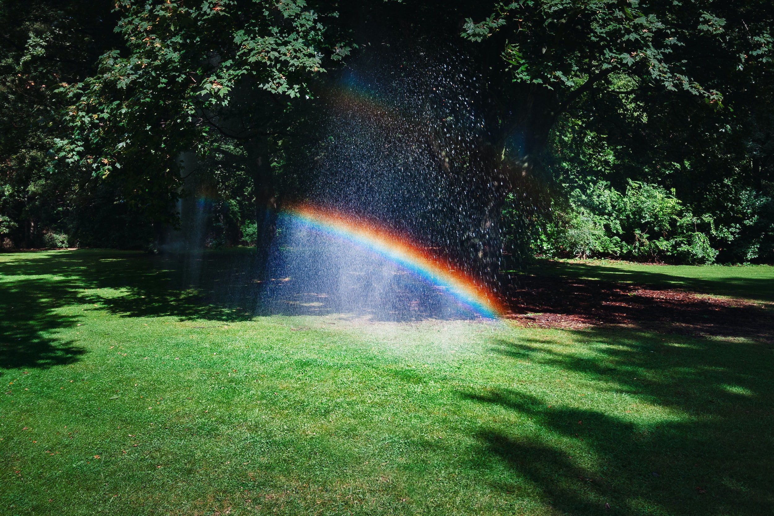
Extreme weather events threaten communities all over the country. AdaptGeo helps them stay safe and secure through climate adaptation planning and design.
Our Expertise
Extreme Weather Preparedness and Adaptation

Localized Flood Mitigation and Stormwater Management.
Green Infrastructure Site Selection and Design.
Shoreline Change Detection and Monitoring.
Urban and Suburban Forestry Planning
Tree Canopy Gap Analysis.
Heat Island Vulnerability Assessment and Mitigation Planning.
Carbon Sequestration Planning and Monitoring.
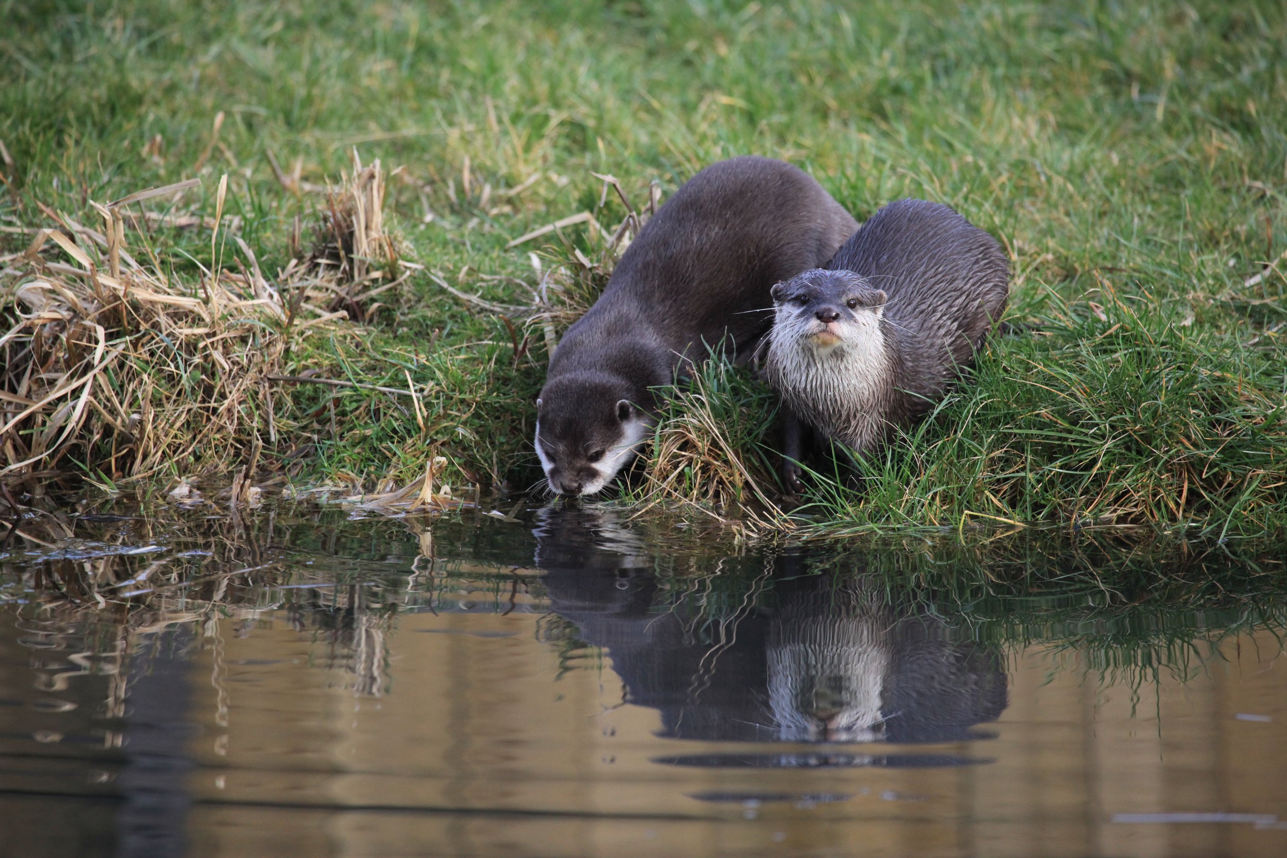
Water Quality and Biodiversity Conservation
Improve River and Lake Water Quality through Green Infrastructure.
Better Adapt Human Landscapes to Natural Ecosystems.
Habitat Restoration, Conservation, and Corridor Planning.

Using cutting edge Geographic Information Systems (GIS) and remote sensing technology, AdaptGeo provides rigorously developed, high-value insights and visual information that meets the needs of our diverse clients.
“AdaptGeo worked with us in the City of Boynton Beach to develop a preliminary toolkit to inform
decision-making on GSI interventions in a few of our highly vulnerable flooding areas. The team utilized existing data
from our Watershed Master Plan to give us a real snapshot of our watershed in an interactive, usable format. The
interactive portions of the toolkit allow the users to effortlessly view considerations such as basins, runoff channels,
and sinks to give decision-makers the clearest picture of what the system looks like. The written part of the toolkit
takes the interactive components of the project and gives the user tangible, actionable GSI interventions in a format
that is easy to read and understand. I would highly recommend AdaptGeo for your GSI projects.”