
Green Infrastructure Siting
Practical tools to build resilience and mitigate intensifying stormwater management demands.
Everyone loves their local parks. Whether for sports, fitness, picnics, or just a place to relax, park space provides people with ample opportunities to get outside and play.
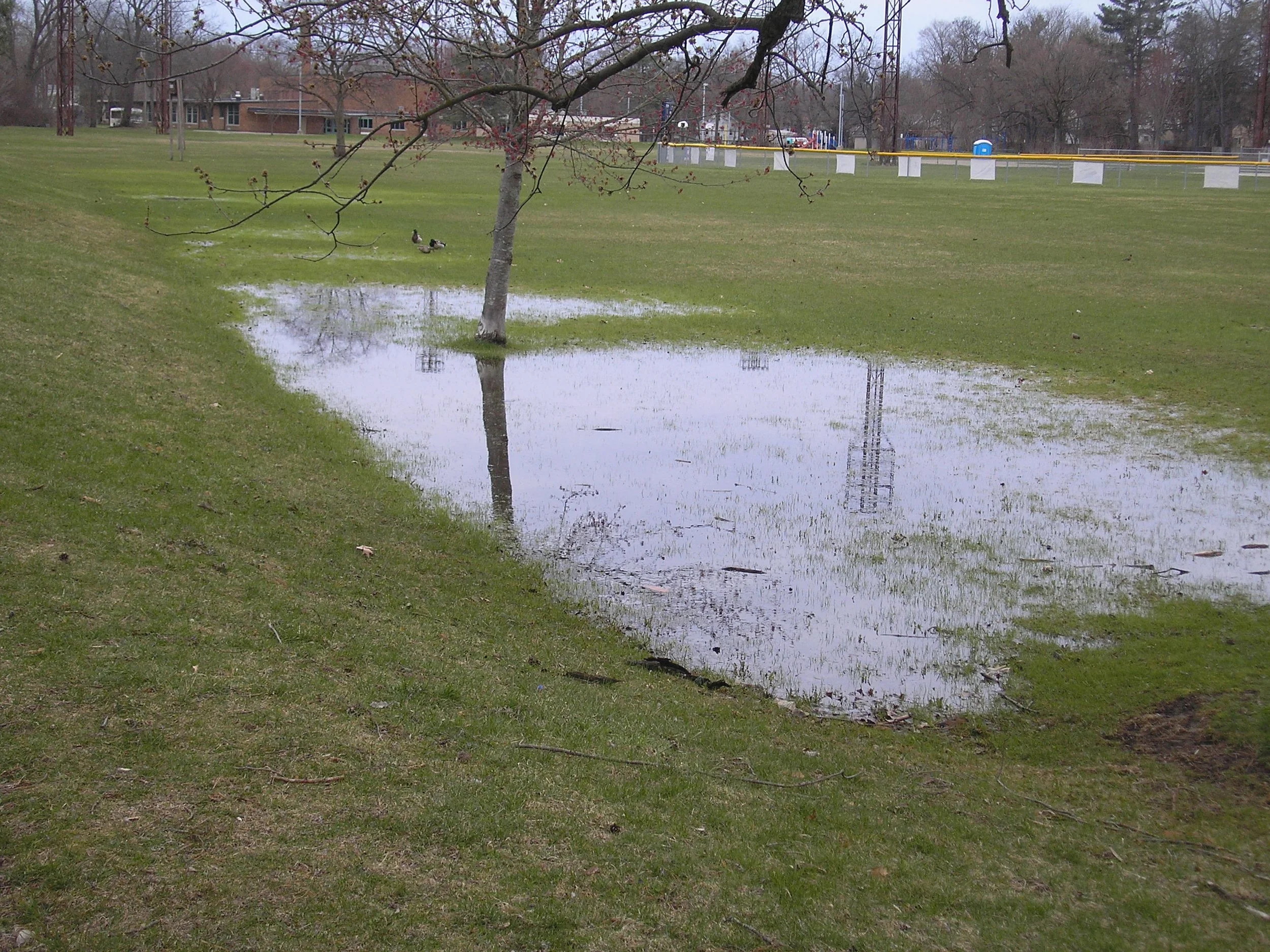
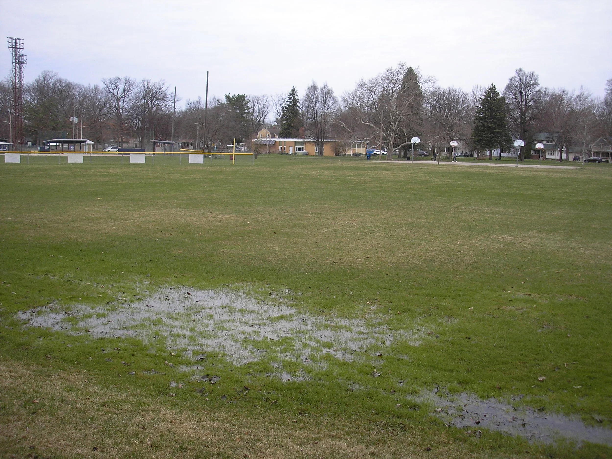
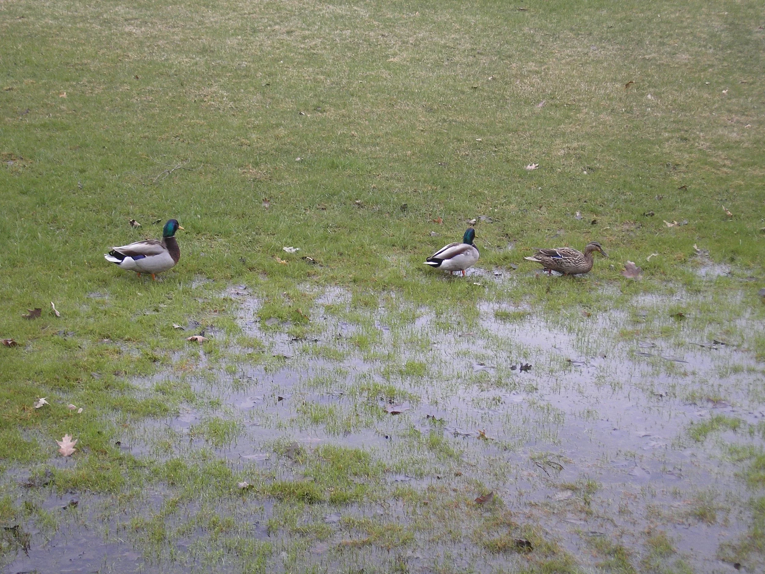
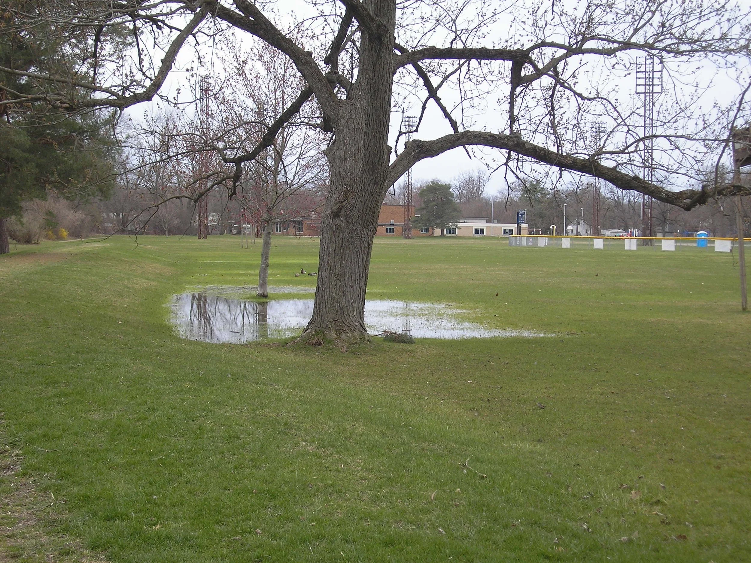
But what happens when you arrive at you favorite park after some rain only to find it water logged and full of puddles the size of ponds? The space becomes nearly unusable, unless you’re a duck.
AdaptGeo In Action
To demonstrate the effectiveness of our Green Infrastructure Toolkit (GrIT) to identify high-impact locations for green infrastructure interventions, we examined Recreation Park in Ypsilanti, Michigan. Using high-resolution, LiDAR data, our GrIT produced GIS output data that surfaced the locations of the highest predicted runoff flow accumulation in the park.
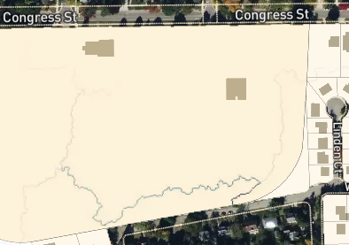
The GrIT output identified the exact location of well-known localized rainwater flooding. The results were verified by engaging with a local watershed management organization who confirmed that a similar, but expensive, land survey had identified the same location as the highest impact for runoff mitigation.
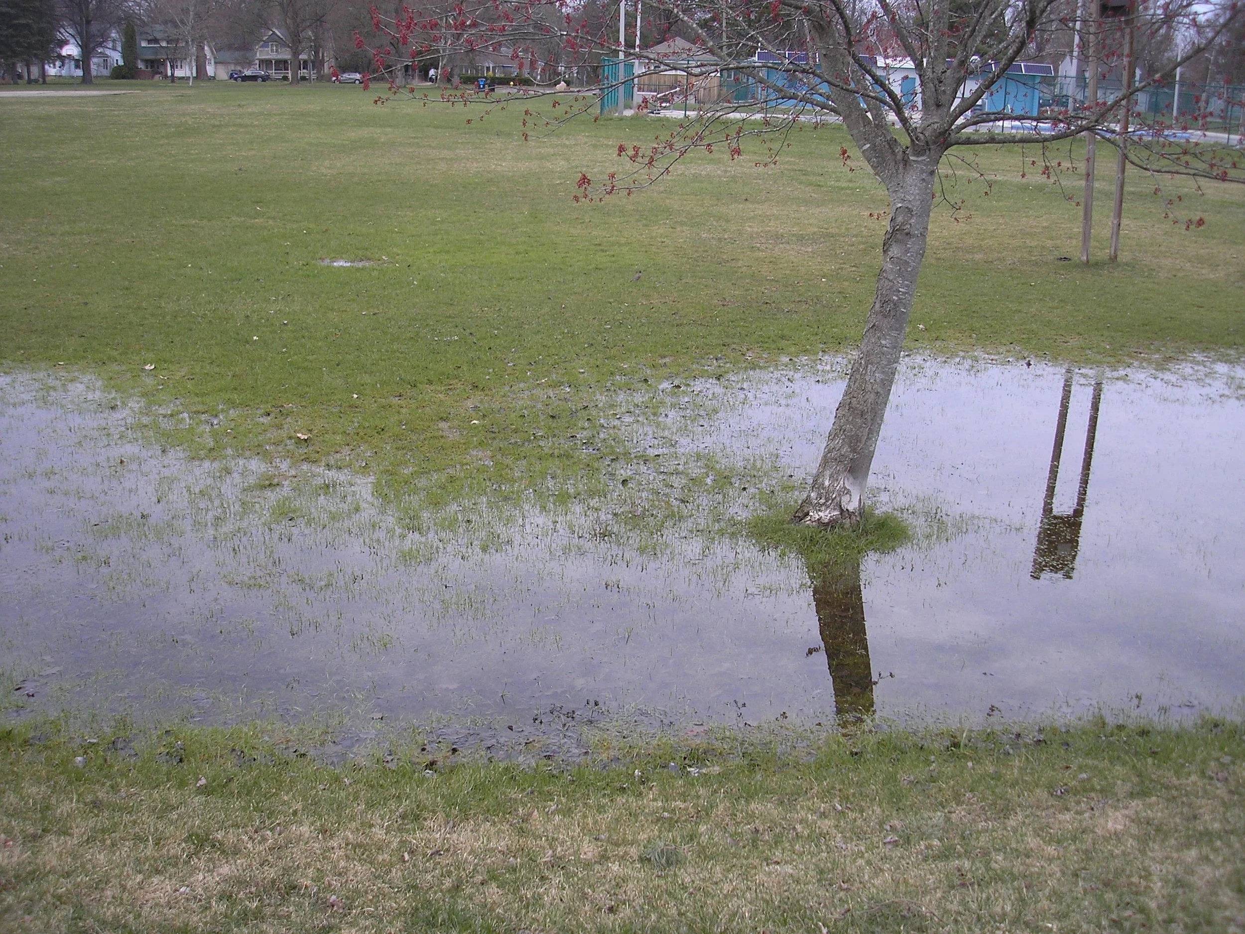
GrIT insights remotely pinpointed intermittent flooding and a prime location for a large rain garden (or small wetland). This intervention would control haphazard pooling, beautify the park, reduce runoff to nearby streets and basements, improve downstream water quality, and create quality wildlife habitat. Everyone wins… Even the ducks!
“AdaptGeo worked with us in the City of Boynton Beach to develop a preliminary toolkit to inform
decision-making on GSI interventions in a few of our highly vulnerable flooding areas. The team utilized existing data
from our Watershed Master Plan to give us a real snapshot of our watershed in an interactive, usable format. The
interactive portions of the toolkit allow the users to effortlessly view considerations such as basins, runoff channels,
and sinks to give decision-makers the clearest picture of what the system looks like. The written part of the toolkit
takes the interactive components of the project and gives the user tangible, actionable GSI interventions in a format
that is easy to read and understand. I would highly recommend AdaptGeo for your GSI projects.”